


The tent rocks were formed from volcanic eruptions of pumice, ash and tufts, about 6-7 million years ago. The deposits were over 1000 ft tall and have since been eroded by wind water to form arroyos, hoodoos and tent rocks.

Here is Kirsty heading into Slot Canyon as we head up from the park entrance.

I wouldn't want to get caught in here during a flash flood!

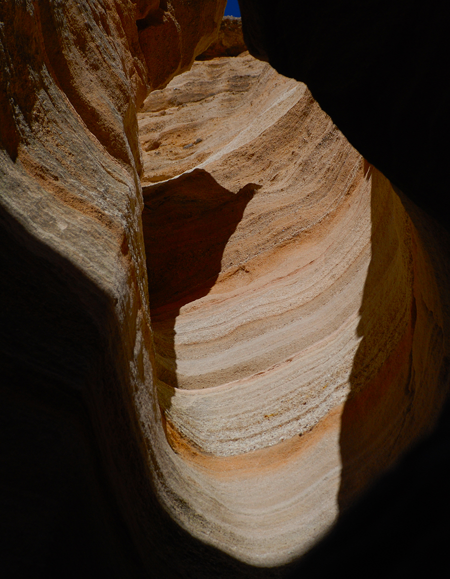

Narrow at times!

This tree's roots were buried at one time but the rock in which the roots were growing has been eroded by the water that rages through this canyon when the rains come.


A couple of hoodoos with boulder caps on them.


A tent rock with a tree growing out of it. Notice the crack the root has made into the stone.


Very large hoodoos!

Notice the large cap on the center formation. The stone is being eroded from underneath the cap.


Views from the top of the trail.


View towards the Sangre de Cristo Mountains (about 40 miles in the distance) and Santa Fe.

Looking south back towards Albuquerque and the Sandia Mountains.
Kasha-Katuwe is a fascinating place to visit! Beware though that you have to scamper up and down the canyon walls at times to get to the top of the trail.
Peace my friends!